|
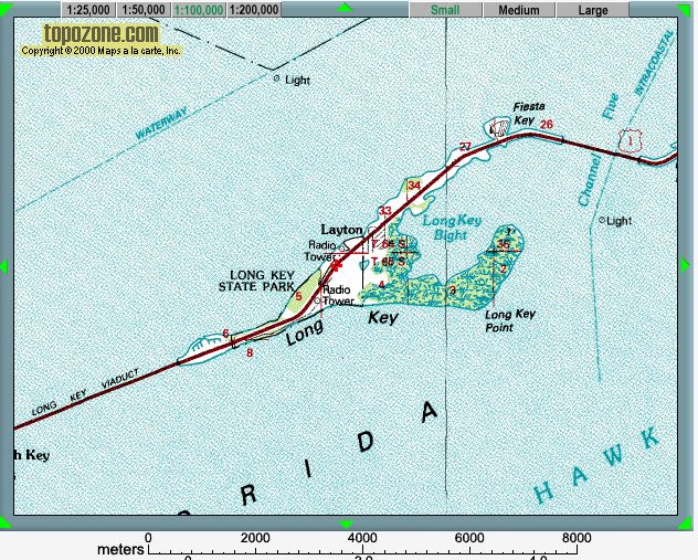
| Map provided courtesy of TopoZone.com
|
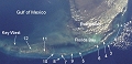 |
Location map - click to enlarge |
The locations visited are all within Long Key State Park, mostly on the east side of Long Key Point. A range of habitats and environments is seen, from muddy tidal creeks, through mangrove swamps, to the sandy beach.
The thumbnail images below link to larger versions of the images, with additional information and exercises. Key images are highlighted with a red border; you should also take the time to study the other images, to see different aspects of this location.
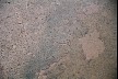
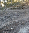
| Muddy tidal creek | 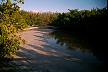
|

|
|
 |
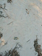
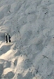
| The beach |  |
 |
 |
 |
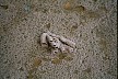
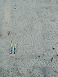
| Beach debris | 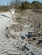
|
|
|
|
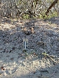
| Mangroves | 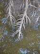
|

|

|
|
|
|
|
|
|
|
|