It is important that you access this field trip on a laptop or desktop PC. Click on any image to enlarge it.
Our route today takes us down the Cardiganshire coast for our first stop. At this location, we are going to study the modern sediments of the Teifi estuary, just downstream from the county town of Cardigan (Aberteifi). To get a general overview, start by exploring the area in Google Maps and Streetview. The blue dots which appear in the estuary when you use Streetview link to panoramas taken when the tide was out, giving us a really close-up view of the sediments.
There's a lot to see and do at this location, and we usually spend 3 hours here. Identifying and interpreting modern bedforms and sedimentary structures is an important part of this exercise.
|
|
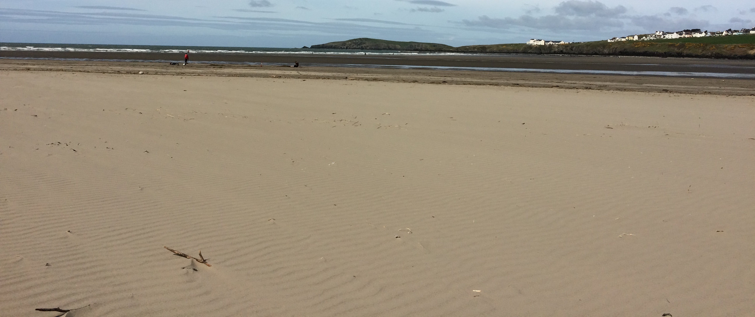
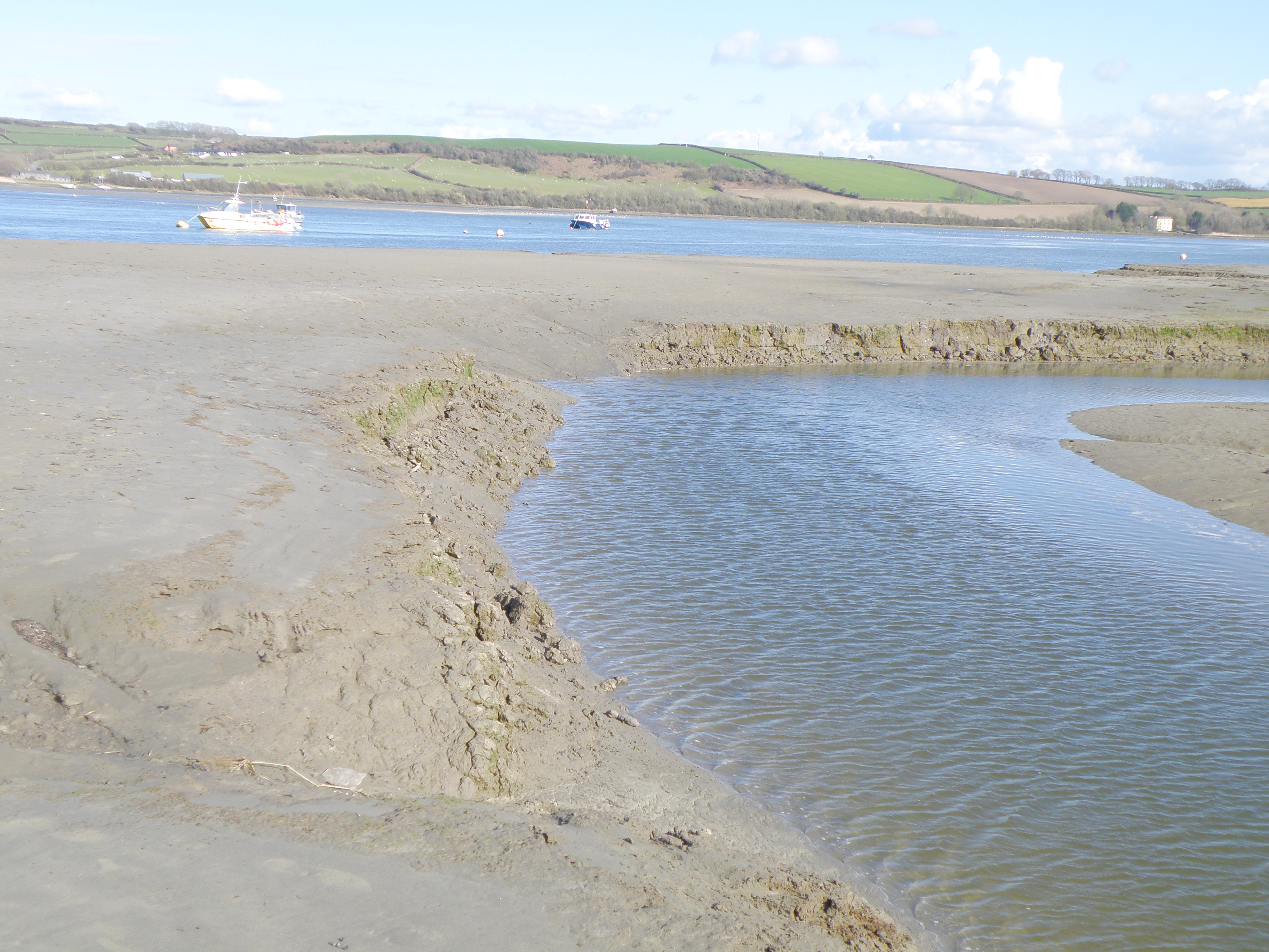
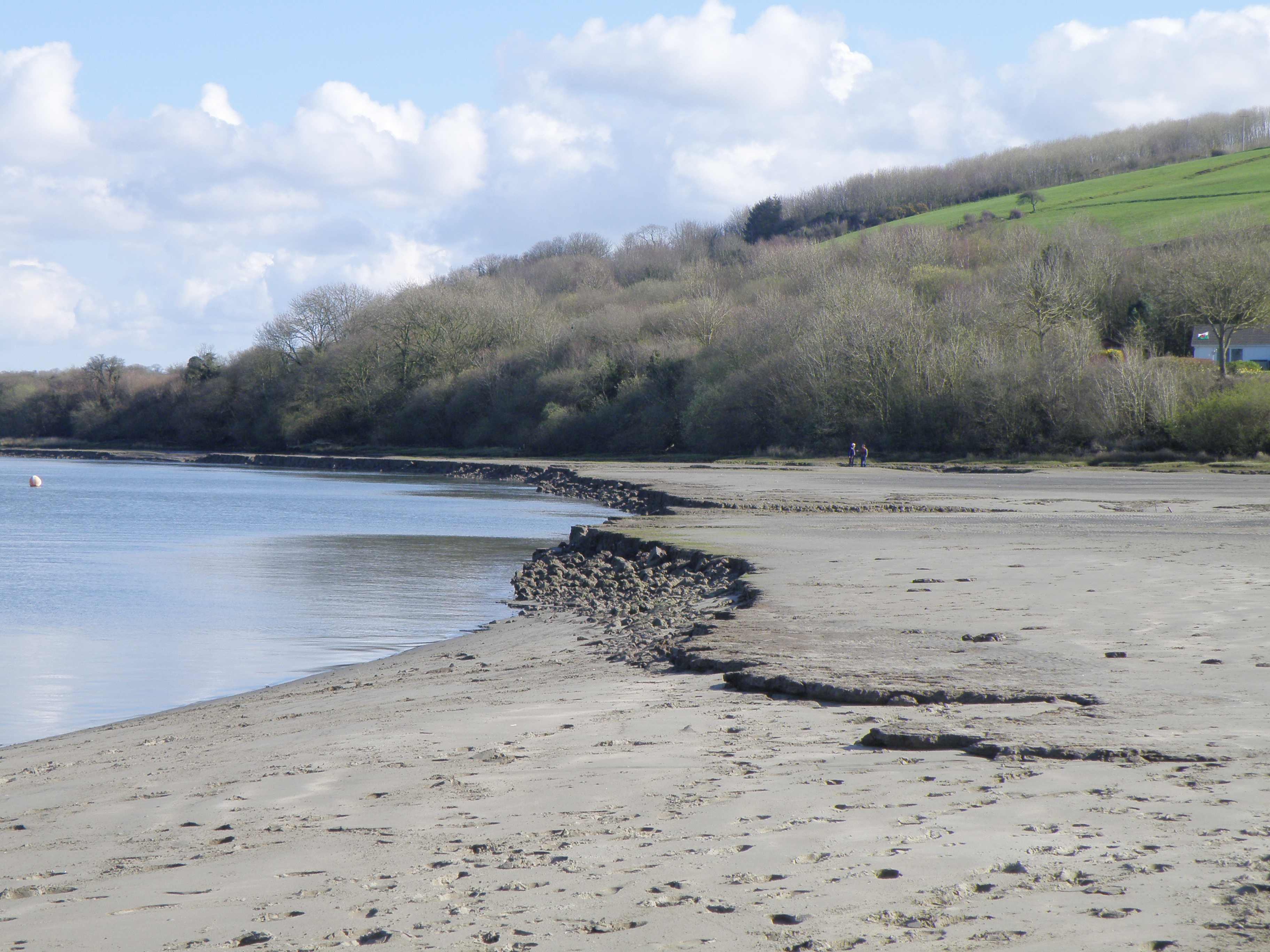
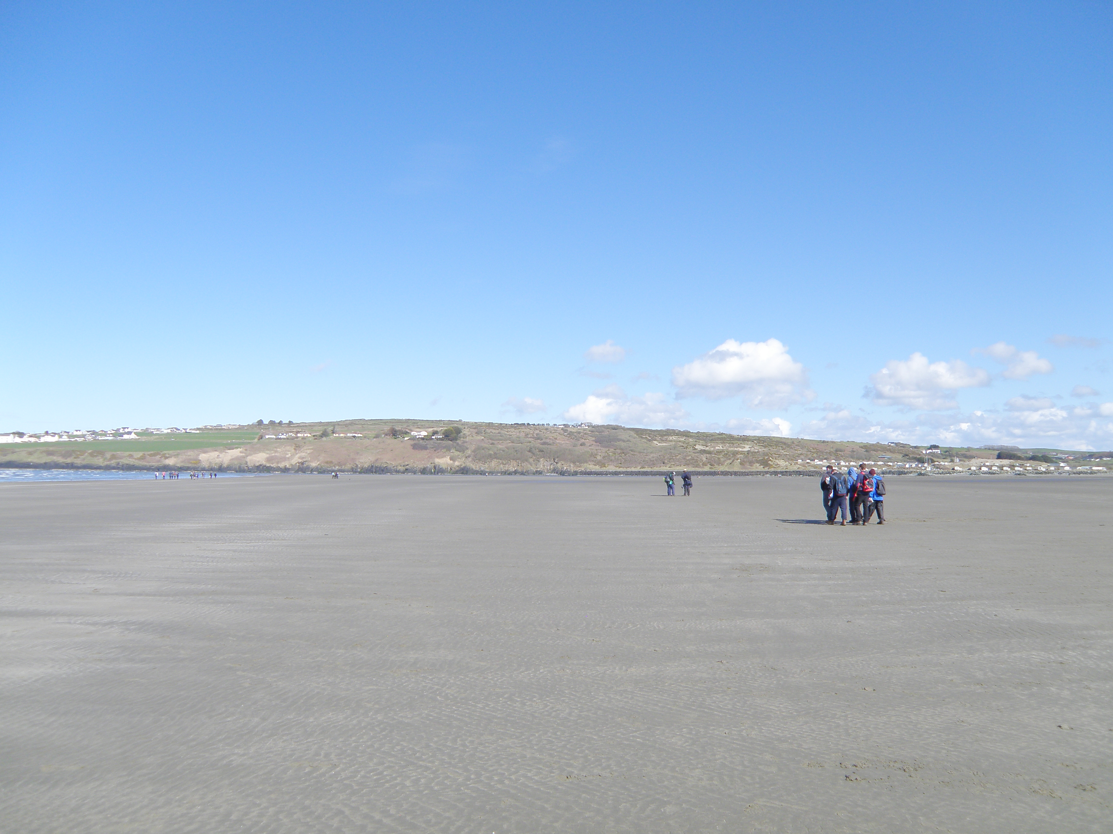 B. General view northeast across the estuary. After studying photos A and
B, think about the range of processes you can see from here. |
Handout: refer to the handout for today, which contains essential diagrams and information. Don't forget to use the information in the Field Guide too. Both are available in Course Resources.
Tasks: See today's handout, Location 2.1, and the questions and tasks on this page.
Where is the source of the River Teifi? Approximately how long is it?
Watch this drone tour of the estuary in YouTube [5m:36s, no commentary] to get a really good overall impression. Make observations and notes, and try to relate it to the base map.
Now watch this 5 minute video on sand transport, and make notes on the processes and structures. This was filmed around point 1 on the base map.
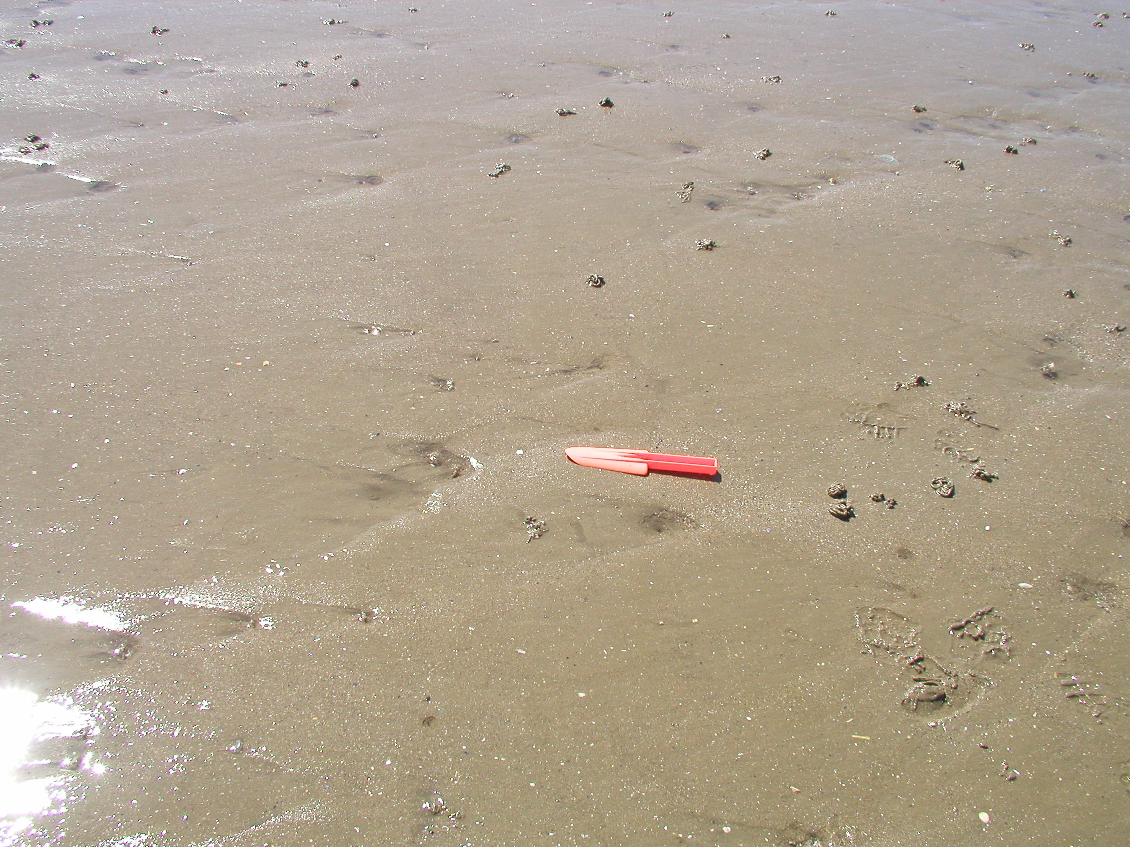
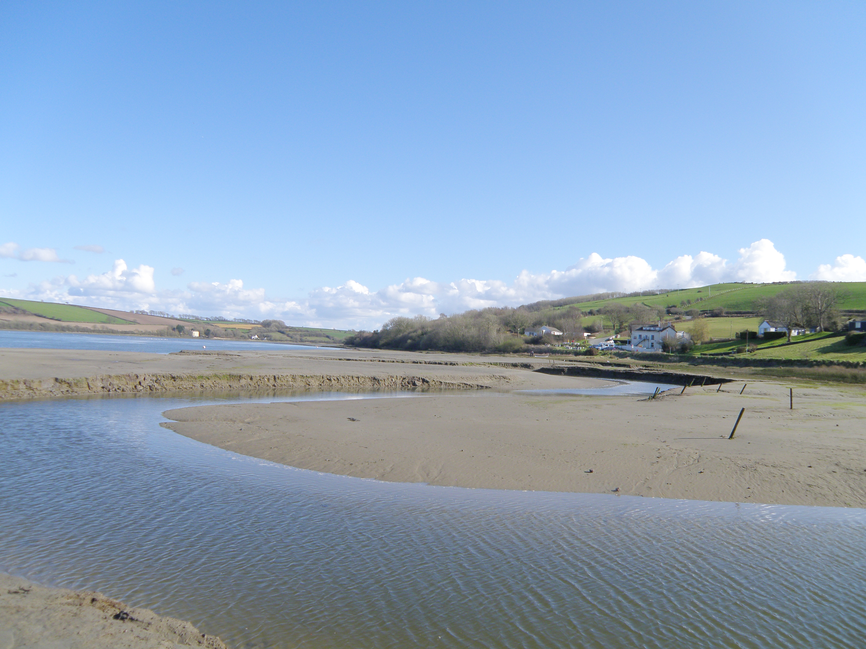
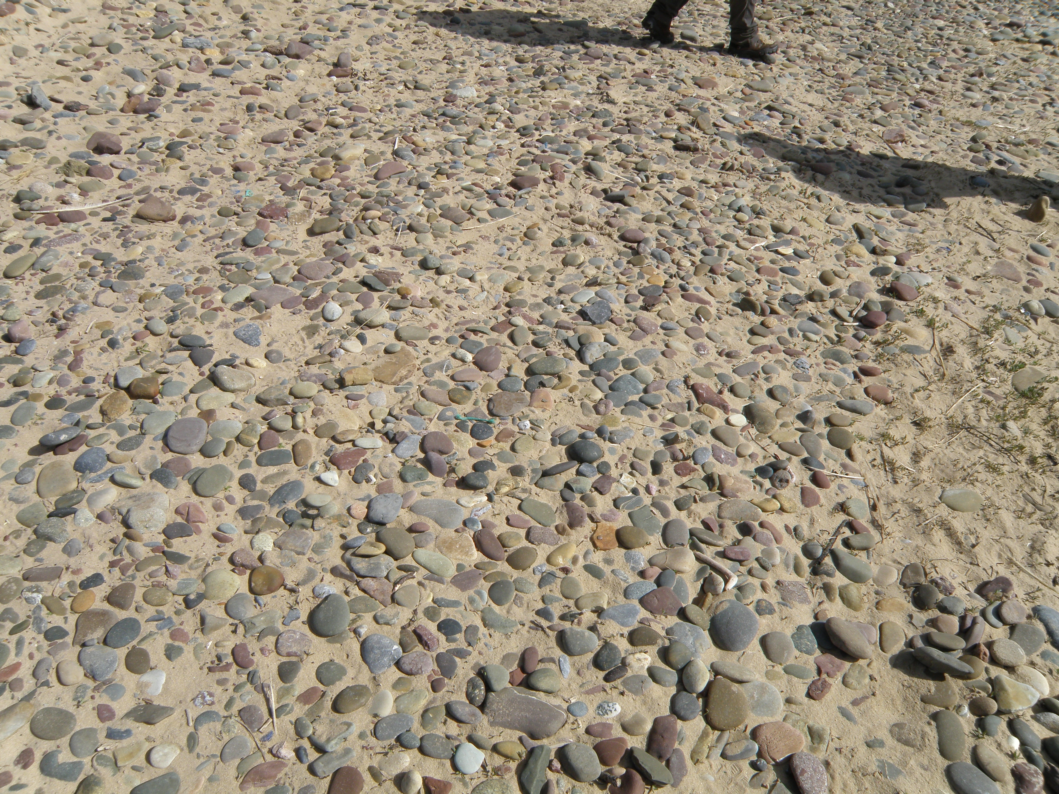
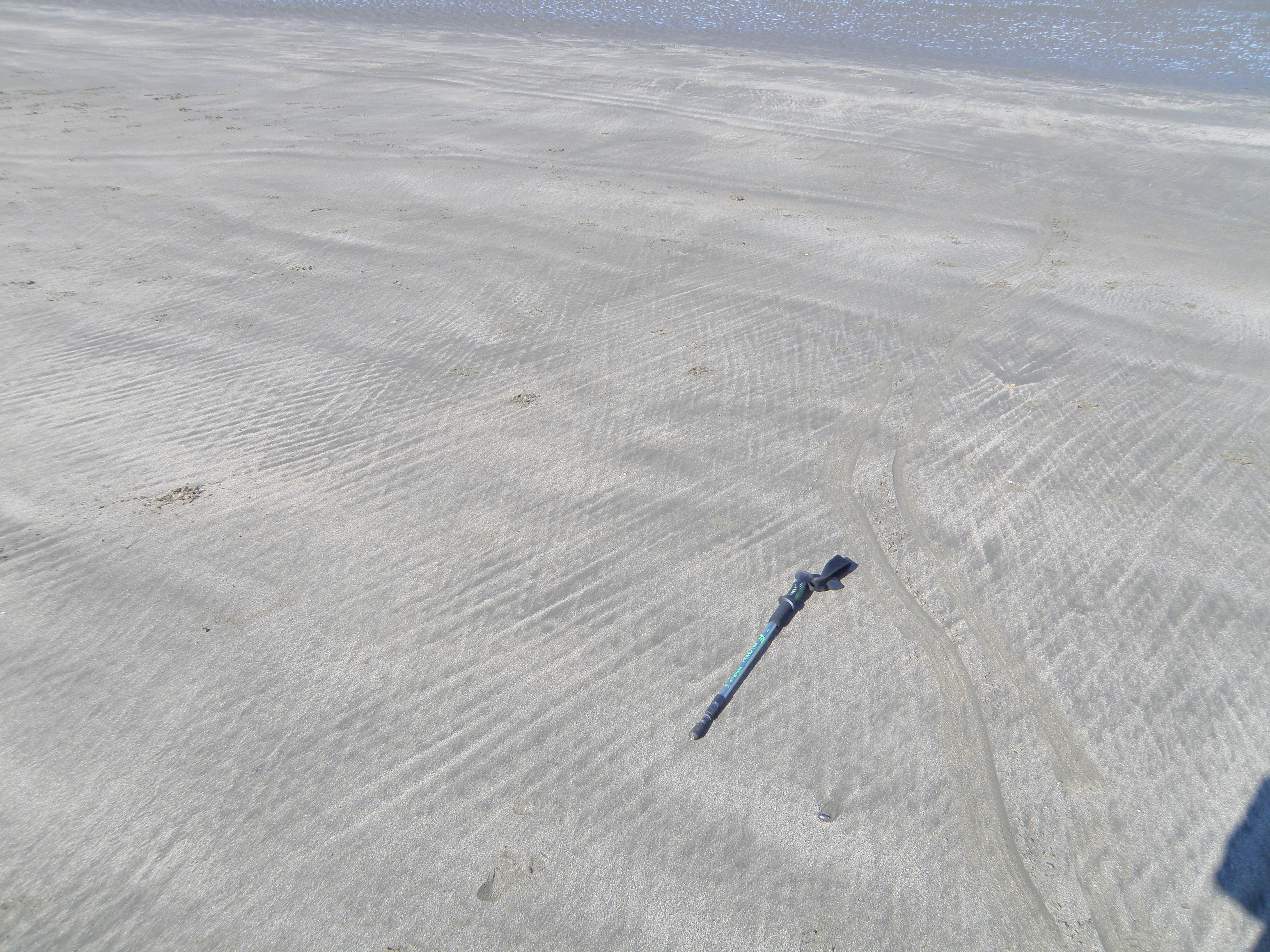
See which of these environments you can identify and mark on your base map. The field photos below provide further information. Identify and describe the features present. Where possible, draw boundaries between the different sedimentary sub-environments, which include:
When you have finished annotating
your map, scan it or save it and include it in your virtual notebook.
![]()
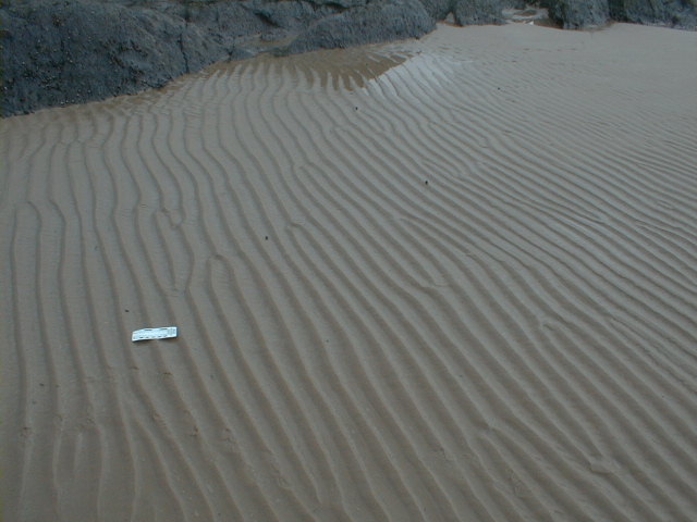
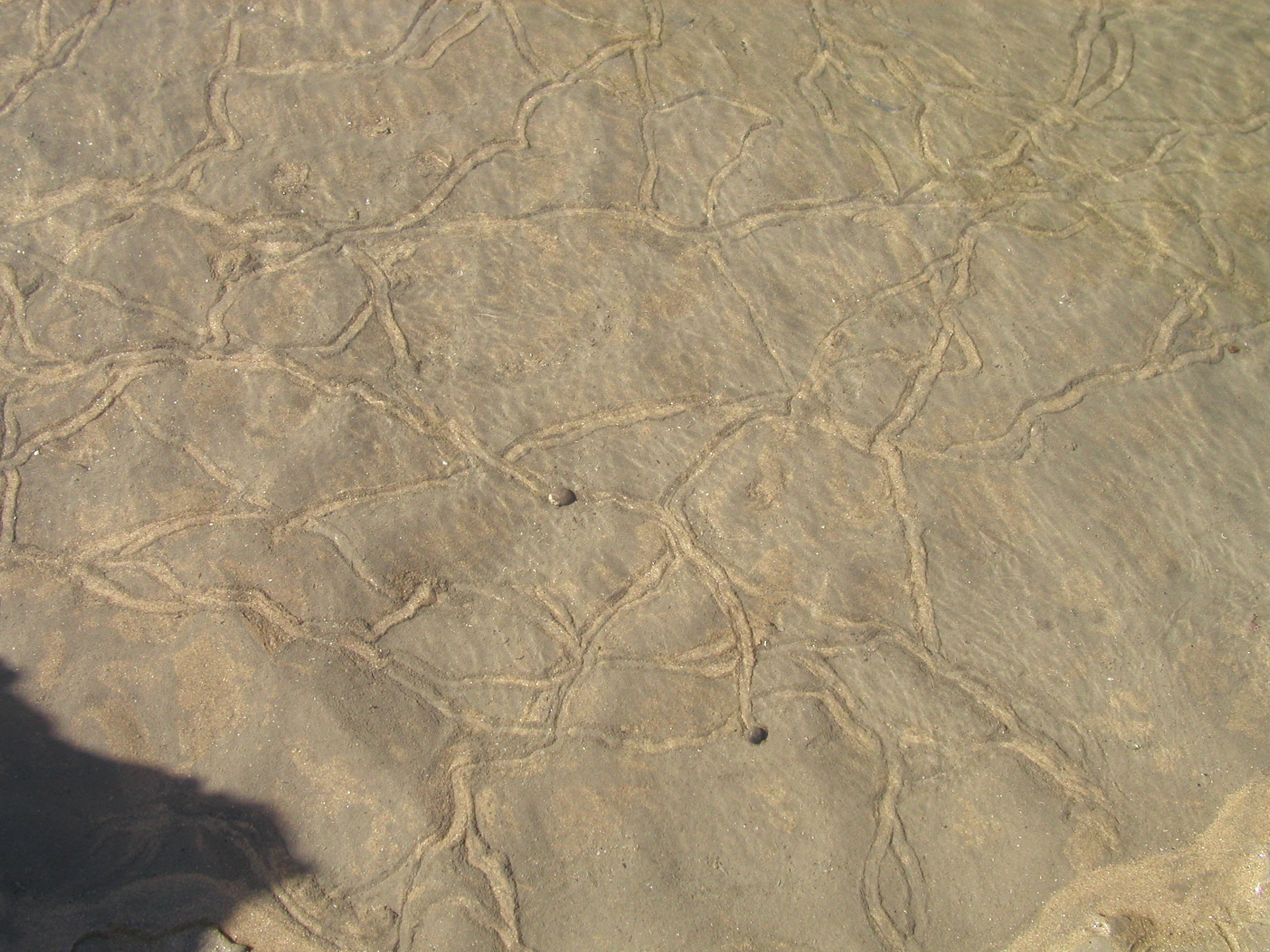
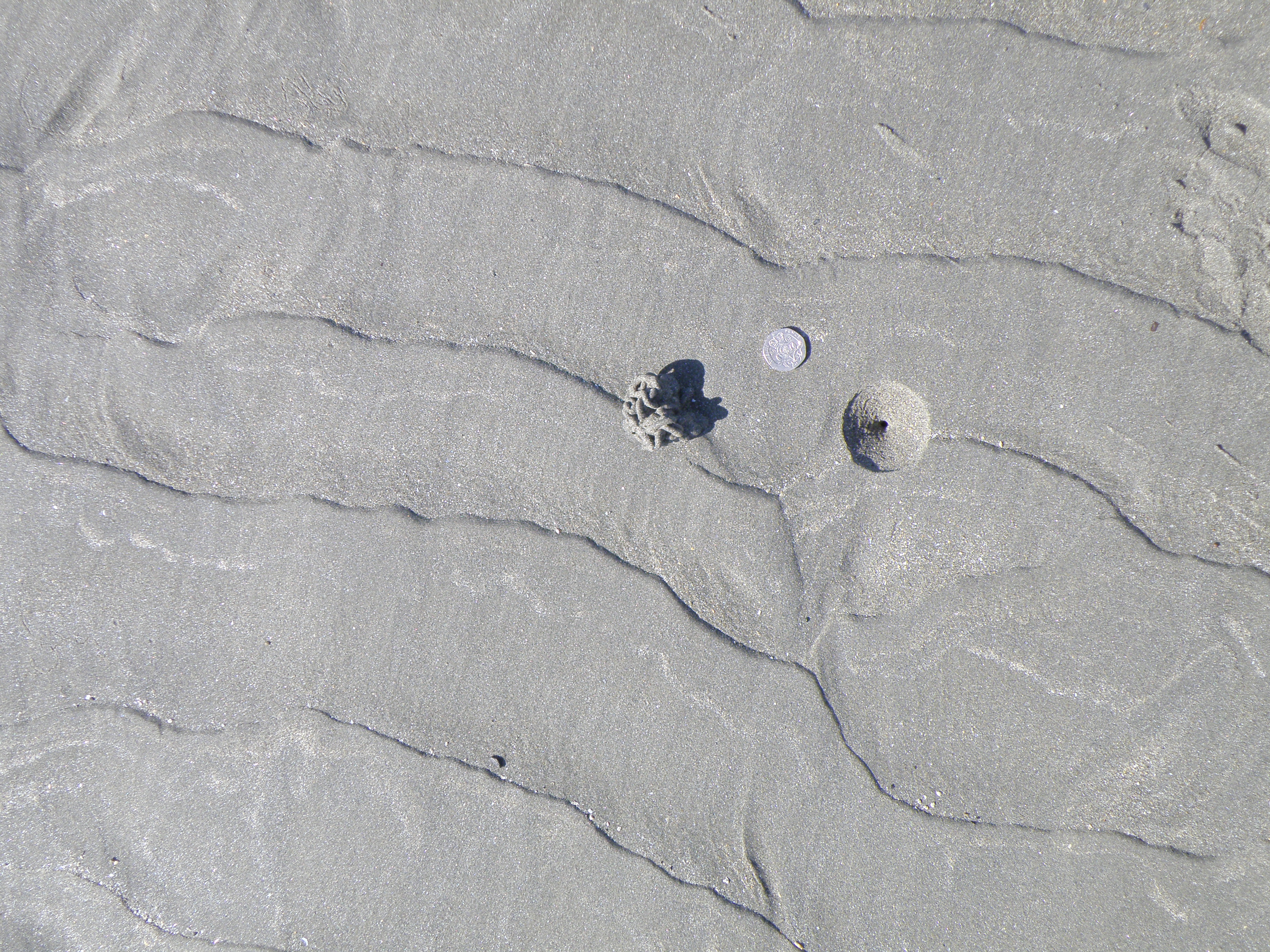
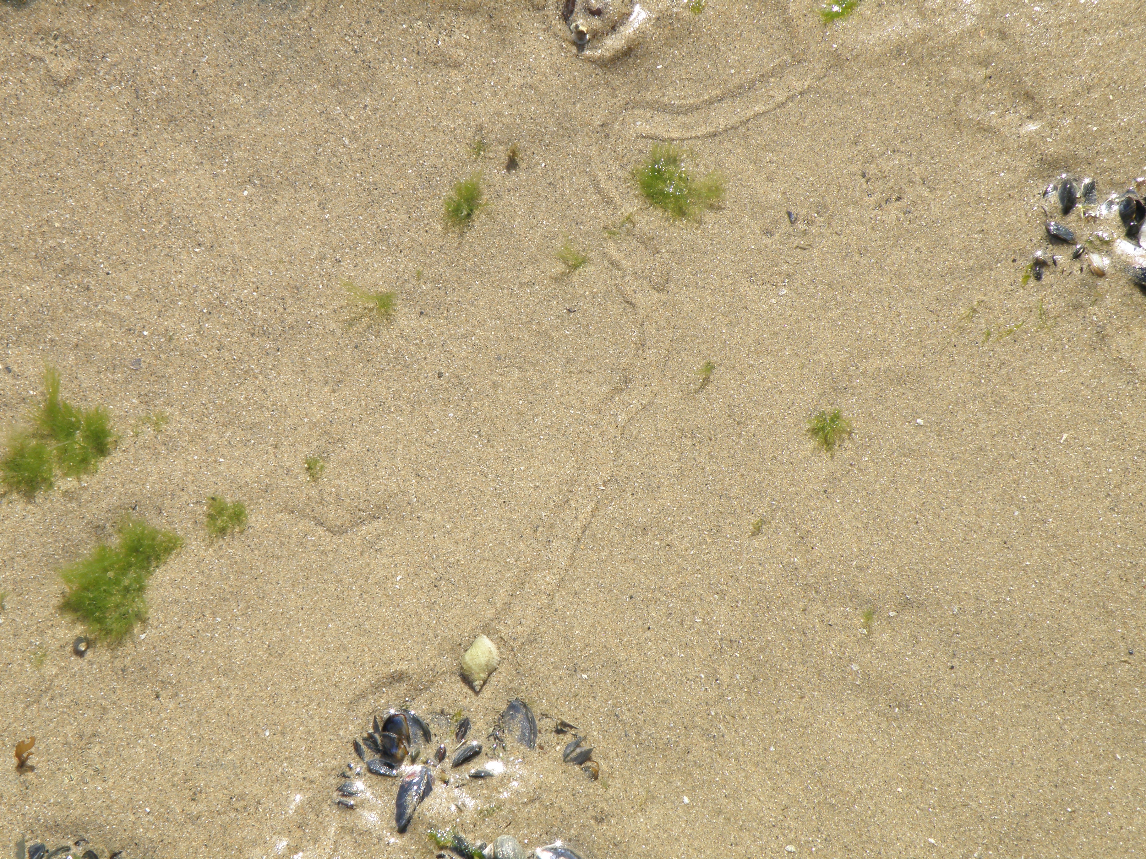
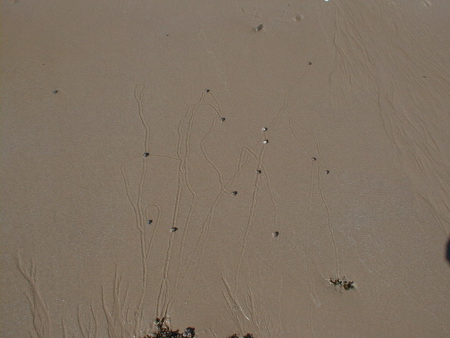
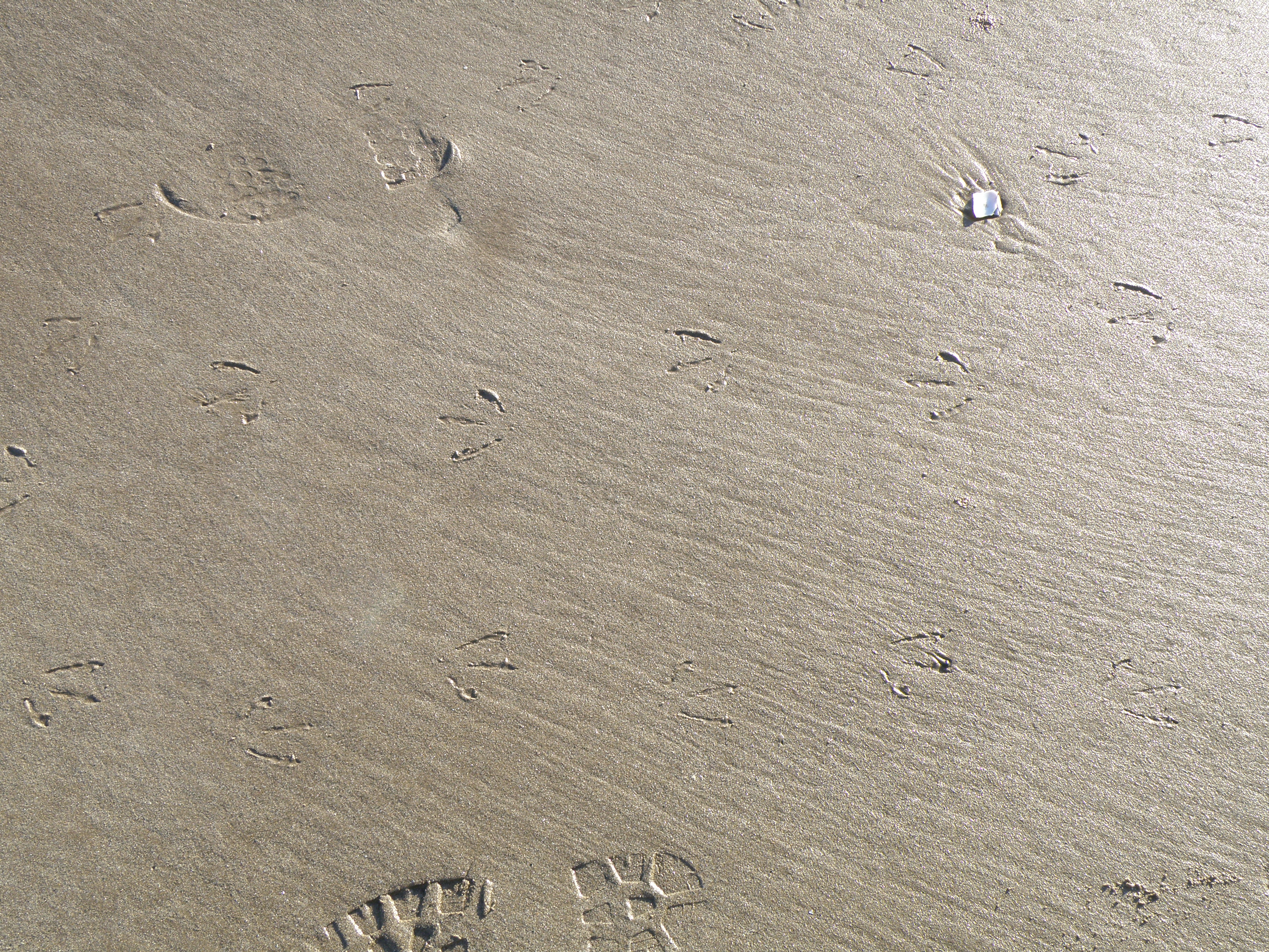
Field photos
|
|
|
 E. At point 2 |
|
|
|
 H. Near point 3 |
 I. Near point 3 |
 J. At point 4 |
|
|
|
 M. At point 6 |
|
Interpreting the field evidence
You have now acquired a variety of different types of data on the estuarine sediments. Write in your virtual notebook a short (250 word maximum) summary of the sedimentary processes and environments. Would you be confident of identifying the features you have seen here in an ancient sedimentary sequence?
![]()
Let's get back on the virtual coach. Over the next hour or so we will cross the Preseli Hills, which consist of Ordovician sedimentary rocks, intruded by dolerite sills. These were the source of the famous 'bluestones' of Stonehenge - a fascinating archaeological story.
We then turn west, and drive through the county town of Pembroke, with its imposing castle. We end up at the far southwest corner of Pembrokeshire at Freshwater West, our next location.
![]()
This page is maintained by Roger Suthren. Last updated 29 April, 2020 10:48 AM . All images © Roger Suthren unless otherwise stated. Images may be re-used for non-commercial purposes.