Introduction
The Gorges d'Héric is a deep ravine
cut into the Massif of Le Caroux (1091m) by a tributary of the river Orb:
the Ruisseau d'Héric. A narrow road follows the river closely and they
wind their way up to the village of Héric at the top of the gorge to
the north about 6 km from the group of villages at the start of the gorge
in the south. The steep faces of the ravine, often vertical or nearly so provide
the best natural section through the gneissic dome of the Caroux Massif, and
the spectacular augen gneisses can be clearly seen. The structure of the dome
is quite complex and its geological history has been the subject of much debate.
On our trip we will travel back in time by 300 million years and underground (courtesy of the gorges) by a kilometre. You will be shown interesting landscape, vegetation and, of course lots of rocks and their geology.
Our trip is in ten locations. When you are ready, go to virtual trip. Enjoy yourselves. To find out more about the geological background go to a geology page.
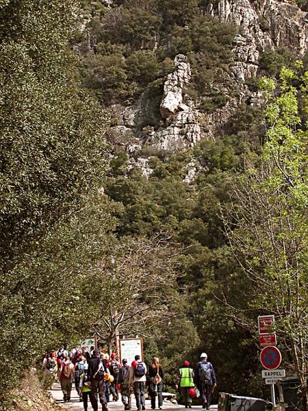
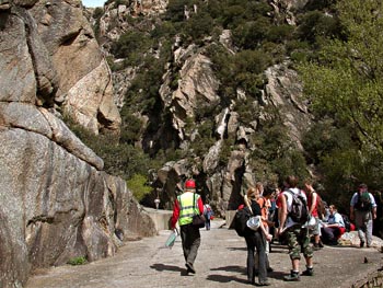
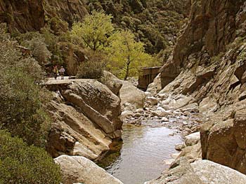
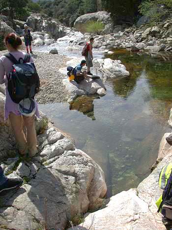
Below are some views you can look at before we start if you wish.