Geology Of Arran
Home | Mull | Whisky | Links & references
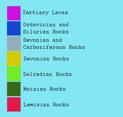
The Isle of Arran is a very popular location for geologists of all levels due to its very varied geology. The Highland Boundary Fault runs East-West through the middle of the island creating two different settings.
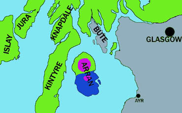
The island is approximately 32km long (North to South) with a coastline of around 92km. It is located off the West coast of the Scottish mainland, separated from the open ocean by the Mull of Kintyre. Arran is the Gaelic translation of "peaked island".
The geological significance of Arran was first discovered by geologists such as John Wesley Judd (1879 - 1914) and James Hutton (1726 - 1797). It was during his studies of the island, that Hutton discovered the existence of unconformities and igneous rocks. These discoveries changed all the previous theories on the age of the Earth.
The Northern part of the island is characterized by a rugged, hilly terrain. This is where the mountain of Goat Fell rises to a height of 874m. The rock units in this part of Arran consist of Dalradian schists which have been intruded by a large granitic body. This intrusion covers approximately 90 square miles and is estimated to have occurred some 50-60 million years ago,during the Paleocene, when Arran may still have been joined to the mainland. When this body of granite forced its way upwards, it lifted the overlying rocks by around 3000m. When this layer eroded away, it exposed the underlying granite body, which also began to erode. It is this erosion which has created the features which exist at present.
|
 |
|
|
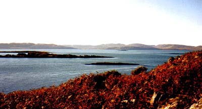
Dalradian
outcrops off the Western shores of Kintyre
|
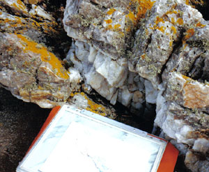
Dalradian
rock outcrop similar to that found on Arran.
|
During the Paleocene, the landscape would have been dominated by a huge volcano. When this volcano eventually collapsed, it left an imprint almost 5km in diameter, which can still be seen today.
A short time (geologically) later, during the Eocene,magma was intruded in the form of dykes and sills, which have since been exposed by weathering of the overlying rock units.
 |
 |
|
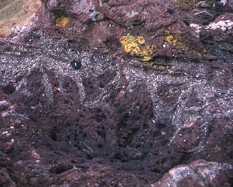
Devonian
soil showing gravel-filled desiccation cracks, NE Arran (image:
Roger Suthren)
|
cross
bedding in Permian wind-blown sand dune deposits, NE Arran (image:
Roger Suthren)
|
The southern section of Arran forms the most western part of the Midland Valley region. This area is dominated by Devonian and Carboniferous units, cut by more igneous intrusions. These take the form of both Carboniferous and Tertiary sills and dykes.
The sills in particular have had a dramatic effect on the features of the landscape. Due to the fact that they are of a much harder composition than the surrounding country rock, they are a lot more resistant to weathering and now form many of the well known features in the southern part of the island.
More recently, in the last 2 million years, Arran has had its landscape affected by several periods of major glaciation. During these periods, the island was covered by thick ice sheets, which scraped away at the rock, removing large pieces and grinding them down before depositing them as boulder clays or tills. These deposits can be seen at various locations around the island.
The weight of these ice sheets was so great, that it caused the underlying rocks to become depressed. When the ice melted, the rocks began to rise upwards once more. This has created the raised beach deposits which can be found near the coast in many parts of Arran.
![]()
©2004, Andrew Rogie